How to Read the Weather
Turn weather data into real-world decisions instead of guessing.
In Simple Terms
Reading the weather means understanding what the conditions and forecast actually mean — not just seeing the numbers.
Most bad weather decisions come from misunderstanding what the data actually means.
Beginner
- Check current conditions first
- Look at the forecast
- Note wind, temperature, and sky
Always start with what is happening now before trusting any forecast.
Intermediate
- Compare forecast to current conditions
- Watch for trends (rising wind, changing sky)
- Check timing of changes
Weather in Lethbridge can change fast — trends matter more than static numbers.
Advanced
- Look for patterns, not single data points
- Use multiple sources
- Trust observed changes over predictions
The best weather readers watch what is changing, not what is steady.
If conditions don’t match the forecast, believe the conditions.
How to Read Like a Pro
Current → Forecast → Trend → Decision
Looking at one number instead of the full picture.
The big picture
Conditions → Interpretation → Action
Weather interpretation is often more valuable than the raw data itself.
Step outside regularly — it trains your ability to read conditions fast.
Look west first
Most of our weather arrives from the west, over the Rockies. From the top of the coulees on a clear day you can see the mountains on the horizon. Whatever is happening over them is often a few hours ahead of what you’ll get in town.
Make it a habit: step outside, look west, and check the wind.
Sky signs worth knowing
These are old rules that still work more often than not. They’re signs, not guarantees.
| What you see | What it often means |
|---|---|
| Mare’s tails: thin, wispy streaks of high cloud, slowly thickening | Moisture moving in high up. A change in the weather may be a day or so away, especially if the cloud keeps thickening and lowering. |
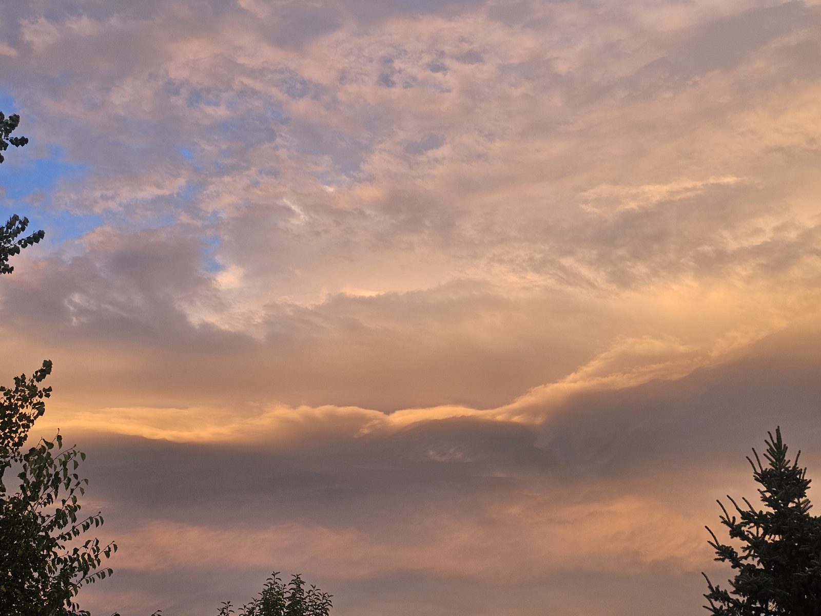
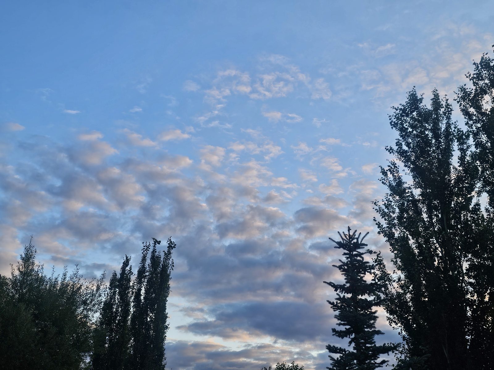
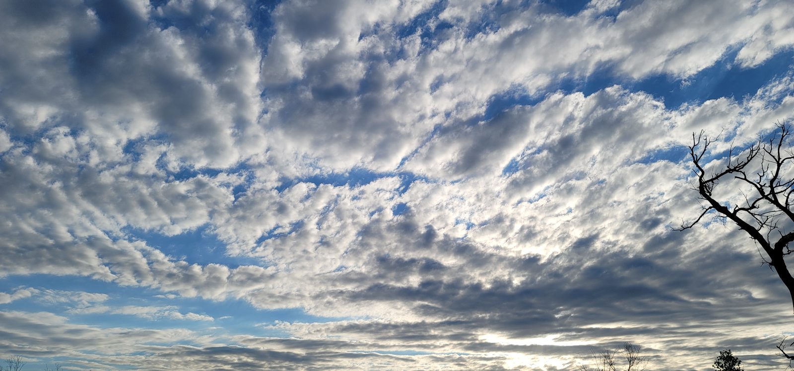
| Mackerel sky: rows of small, rippled clouds like fish scales | Unsettled air aloft. Sometimes a sign a system is on the way; sometimes it just drifts by. |
| Chinook arch: a sheet of cloud over the city with a clear band of blue sky above the mountains | A chinook is here or close. Expect strong, gusty west or southwest wind and a quick rise in temperature. |
| Smooth, lens-shaped clouds that seem to stay in one place over the foothills | Strong wind blowing over the mountains. A windy day is likely. |
| Puffy clouds already growing tall by late morning in summer | Unstable air. Thunderstorms are more likely in the afternoon and evening. |
| Low, flat grey cloud with an east or northeast wind | Upslope weather. Drizzle, fog, or in the cold season, steady snow that can last for hours. |
Learn the cloud types in Weather School: Reading the Clouds. Our Sky Photos page shows what they look like over Lethbridge.
What the wind direction tells you
Around here, the direction of the wind is often a better clue than the clouds.
- West or southwest: our usual wind. Air coming down off the mountains warms and dries as it descends. Mild and gusty in winter (chinook), dry and windy in summer.
- North or northwest after a mild spell: colder air is arriving. Temperatures can drop sharply within hours.
- East or northeast: air pushed uphill toward the mountains cools and wrings out its moisture. This “upslope” pattern brings many of our biggest snowfalls and rainy, grey days.
- South or southeast in summer: warmer, more humid air moving in. Watch for thunderstorms later in the day.
- Calm and clear at night: cold air drains into the river valley and coulee bottoms. Low spots frost first.
Watch the live wind direction and gusts on our Wind in Lethbridge page or at the West Lethbridge weather station. When a steady west wind swings around to the east, pay attention.
Pressure: watch the trend, not the number
A barometer is one of the oldest forecasting tools there is. The actual number matters less than which way it’s heading over the past 3 hours.
- Falling slowly and steadily: a low or front is approaching. Clouds and wind often follow.
- Falling fast: a strong system or a big wind event is close.
- Rising after a storm: clearing is on the way, though it can be gusty while it happens.
- Steady and high: settled weather, often with cold, calm nights.
During a chinook, the pressure on the east side of the mountains often falls while the wind howls and the temperature climbs. Here, a falling barometer doesn’t always mean rain or snow. It can just mean wind.
More in Weather School: Air Pressure and Chinooks and Mountain Weather.
Reading the forecast wording
Environment and Climate Change Canada forecasts use set phrases, and the small words matter.
- “Chance of showers” means scattered, on-and-off precipitation. Some places get wet, some don’t. “Periods of rain” or “snow” means more widespread and longer lasting.
- “Risk of a thunderstorm” means storms are possible, but not everyone will see one.
- “Wind becoming northwest 40 gusting to 60 in the afternoon” tells you when it will change. Plan around the time, not just the speed.
- “Temperature falling to −10 in the afternoon” means the high happens early. Dress for the end of the day, not the morning.
- “Low −5 with temperature rising to plus 3 by morning” is often a chinook arriving overnight.
- Wind chill and humidex tell you how the air will feel on your skin. Dress for those numbers.
What POP percentages mean, and how watches, warnings and the coloured alert levels work, is covered on Forecasts, Warnings & Radar. In short: a watch means conditions are right for something dangerous to develop, so be ready. A warning means it’s happening or about to, so act.
A two-minute morning routine
- Look outside. What kind of cloud? Any arch or haze to the west?
- Check the wind. Which way, and how gusty?
- Check the pressure trend on the station. Rising, falling or steady?
- Read today’s forecast and any alerts.
- If clouds are building, open the radar before you head out.
Weather lore and sky signs help you notice change coming, but they can’t replace official forecasts and warnings. When there’s an alert, follow it, even if the sky looks fine.
Jot down what the sky, wind and pressure did each day, and what happened next. After a season, you’ll start to see the patterns for your own corner of Lethbridge. Weather School’s Observing the Weather Yourself lesson shows how.
Keep reading
Also see: Forecasts, warnings & radar · Planning around the weather
Last updated October 2026.
Want to go deeper?
Our free Weather School has 14 short lessons with diagrams and quizzes, from air pressure and clouds to chinooks, storms and how forecasts are made. Finish the final exam and print your own certificate.