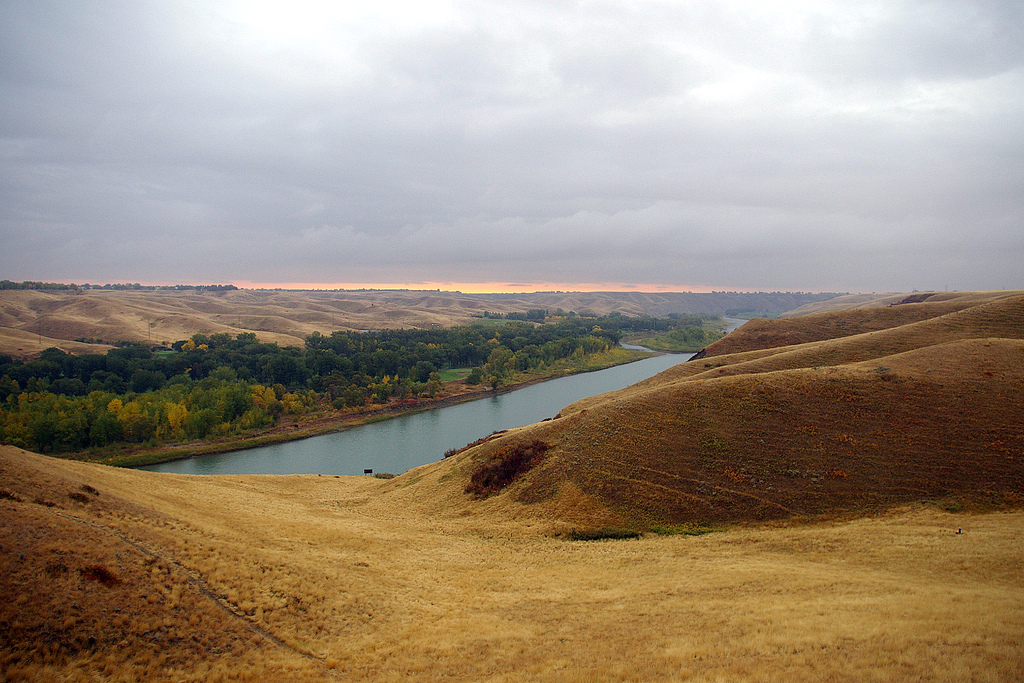
If you live in Lethbridge, you see them every day: the deep, wrinkled valleys that drop from the prairie down to the Oldman River. We call them coulees. They’re one of the most striking landscapes in Canada, and they’ve only been here since the end of the last ice age, which is the blink of an eye in geological time. Here’s how they were made, and why they’re still changing.
What is a coulee?
A coulee is a steep-sided, V-shaped valley. The word comes from Canadian French coulée, from the French verb couler, “to flow,” and that’s a good clue to how they formed: flowing water made every one of them. In Blackfoot, Lethbridge’s coulees are called Kaawahkóístsi.
Across southern Alberta the word covers two kinds of valley:
- The big dry channels, like Chin, Forty Mile, Etzikom and Verdigris coulees, which were cut by enormous rivers of glacial meltwater and are now nearly dry. Several have been dammed into reservoirs, such as the Chin and Forty Mile Coulee reservoirs.
- The side valleys that branch off a river valley like the Oldman’s, carved by rain and snowmelt running down to the river. These are the coulees most of us picture in Lethbridge.
How the ice made them
About 20,000 years ago, southern Alberta was buried under the edge of a continental ice sheet hundreds of metres thick. As the climate warmed, the ice melted back in fits and starts, and by roughly 12,000 years ago it was retreating from our area.
That melting released staggering amounts of water. In places the ice blocked the natural drainage, damming up huge temporary lakes. When the meltwater finally found a way out, it tore across the soft prairie and cut deep channels very quickly.
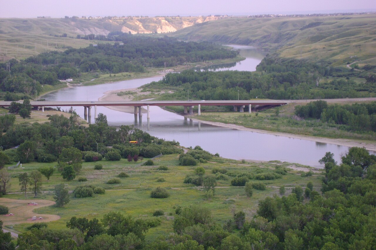
The Oldman River followed one of those paths and kept cutting down through the loose glacial deposits and the soft sandstone and shale beneath them. Today the valley floor in Lethbridge is close to 100 m (330 ft) below the prairie. The High Level Bridge, 95.7 m (314 ft) high and 1,624 m (just over a mile) long, gives you an idea of the scale.
How rain and wind keep carving them
Once the river had cut its deep trench, every rainstorm and spring melt on the prairie above had a steep way down. Water ran to the edge, poured over, and started cutting a notch. The notch became a gully, and the gully grew back into the prairie, one storm at a time, until it became a coulee. That process is still going on:
- Summer thunderstorms are the main sculptors. A heavy downpour on the bare, dry slopes sends muddy water racing down the coulee bottoms, carrying soil with it.
- Spring snowmelt and frost loosen the soil, and freeze-thaw cycles, which chinooks give us plenty of, pry it apart.
- Wind strips loose soil off the exposed ridges.
- Slumping. Where water soaks into the clay, whole sections of slope can slowly slide, which is why the coulee edges have those stepped, lumpy shapes.
The soft rock erodes so easily that parts of the coulees look like badlands, bare and ridged, while the gentler slopes stay grassy. South of the city, the St. Mary River has cut down into the dark Bearpaw shale, the layer where ammolite is found.
Two worlds on one hill
Walk down any coulee and you’ll notice a striking difference between plant growth on the north-facing and south-facing slopes. The reason is the sun. At our latitude a south-facing slope takes the sun almost head-on, so it’s hotter, drier and windswept, the territory of short grass, sagebrush and prickly pear cactus (in Blackfoot, otahkoottsis). A north-facing slope gets the sun at a low angle, holds its snow longer and stays damp, so shrubs like saskatoon, chokecherry and buffaloberry can grow there. In the valley bottom, cottonwood forests grow along the river.
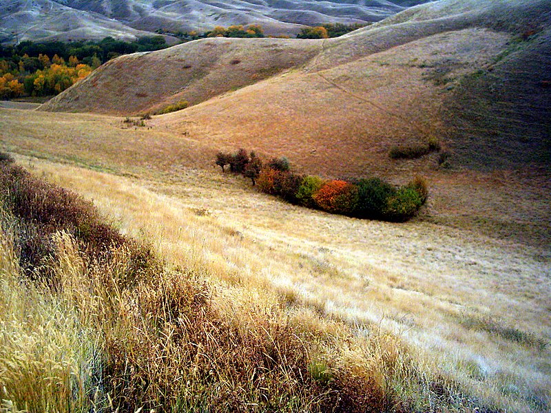
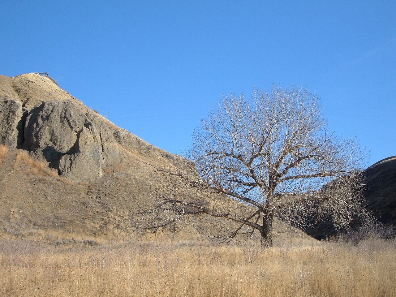
The coulees are a sanctuary for wildlife and home to hundreds of native plant species. They’re also home to a small population of prairie rattlesnakes, which are protected in Alberta, so watch where you step and give them room. You’ll also find mule deer, coyotes, porcupines, great horned owls and, in the wetlands, western painted turtles.
People in the coulees
- For thousands of years the coulees were Blackfoot land. They gave shelter from the wind, water, wood and game.
- In October 1870, the river valley in what is now Lethbridge was the scene of the Battle of the Belly River between the Blackfoot Confederacy and the Cree. It’s often called the last major battle between First Nations on Canadian soil, and a peace was made between the two nations in 1871. Indian Battle Park in the valley is named after it.
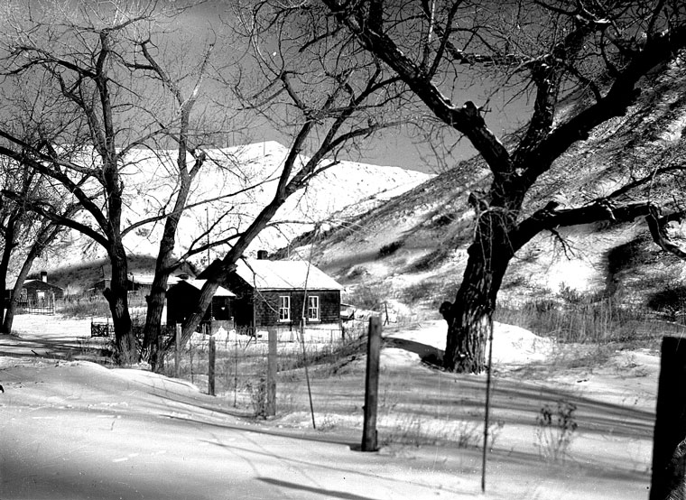
- Lethbridge started in the valley bottom as a coal-mining settlement known as Coalbanks. The river flooded the bottom again and again, 14 times between 1851 and 1995, and in 1953 the last homes were moved up to the prairie.
- Many coulees make natural ramps down into the valley, which is why so many of our roads and pathways follow them.
Enjoying the coulees
The coulees are right on our doorstep. Walk the trails at the Helen Schuler Nature Centre in Indian Battle Park, stand on the rim at sunset and watch the shadows fill the folds, or see them from your couch on our live Whoop-Up Drive camera, which looks out over the river valley. Stay on the trails, because the slopes are easily damaged and the erosion that made the coulees will happily make a new gully out of a shortcut.
Next time you look across the valley, picture a wall of ice melting away and a river of meltwater carving the first cut. Everything you see came from that water and every rainstorm since.
Learn more
Questions or ideas about this post? Email us at help@drhd.com. We read every one.